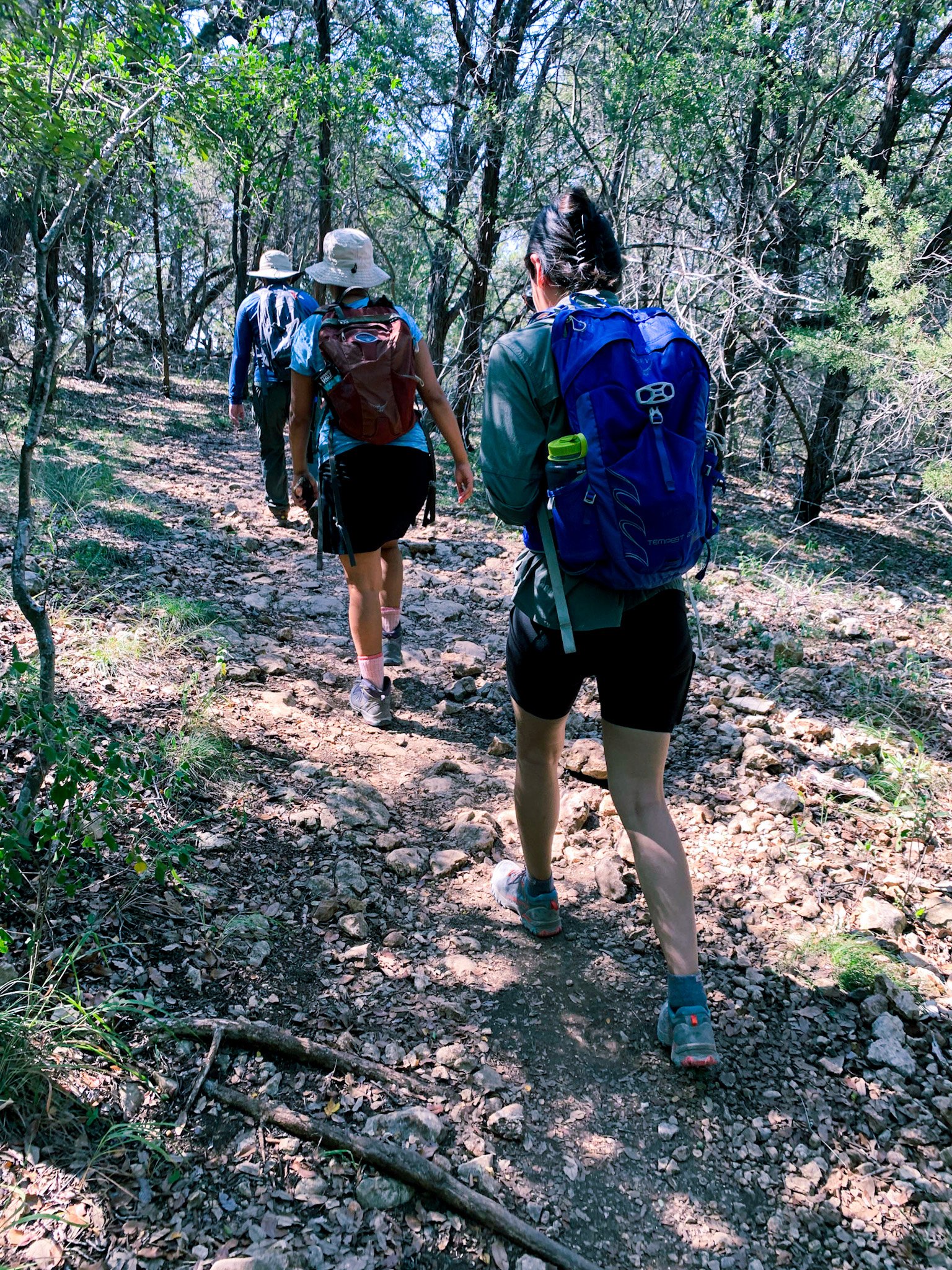
24 Hiking Trails In and Outside of Austin, TX
Oh, Austin, Texas. A lot of people know it for SXSW and Austin City Limits music festivals. But one of the best qualities of this city is its love for the outdoors. It’s a city that is perfect for outdoor enthusiasts who love having a variety of recreational areas to explore just a stone's throw away. Whether you are a seasoned hiker or a beginner looking for a scenic stroll, the diverse terrain and beautiful hill country landscapes offer something to everyone. In this blog post, we’ll explore 24 trails in and around the Austin area that you can explore!
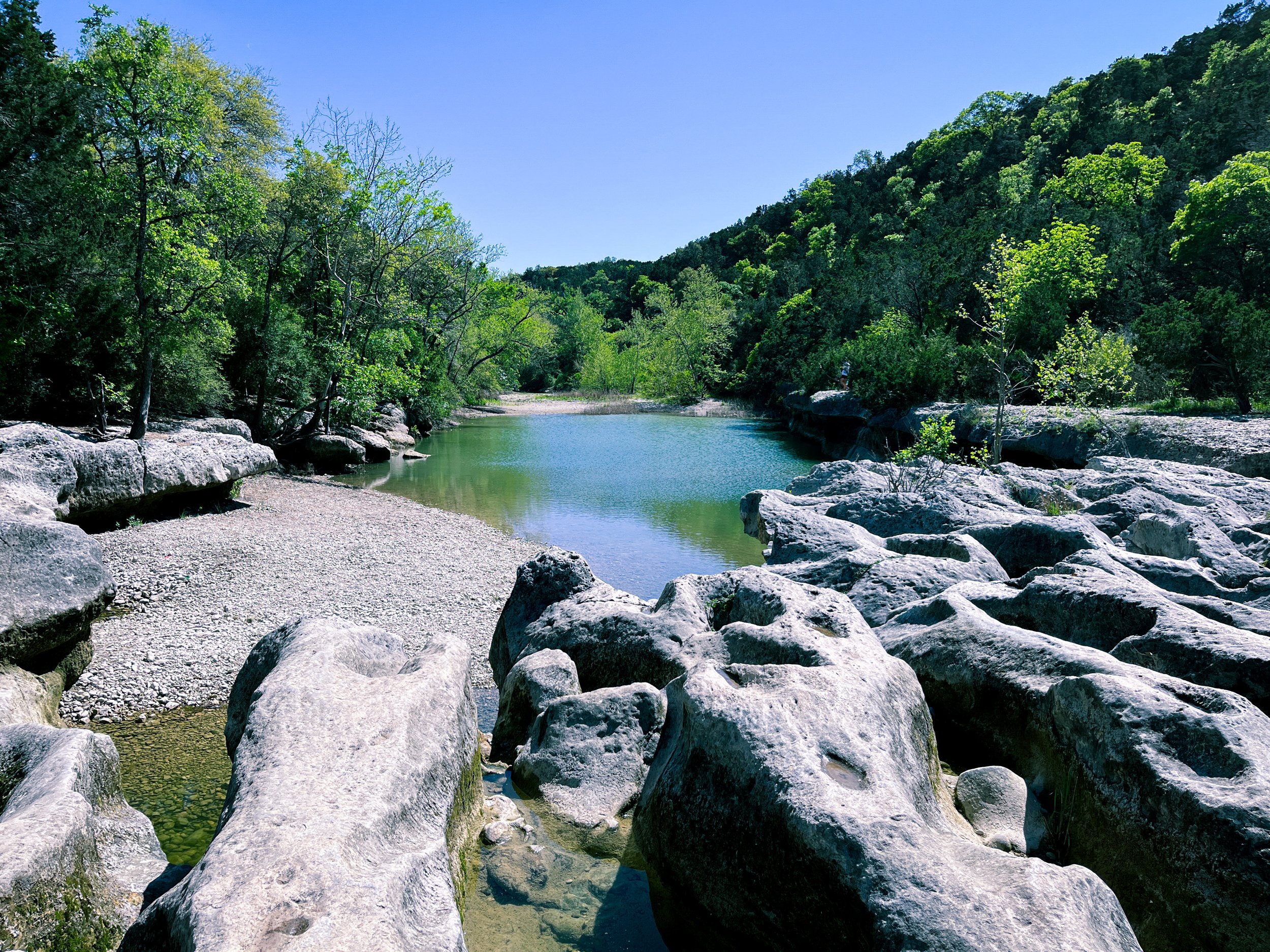
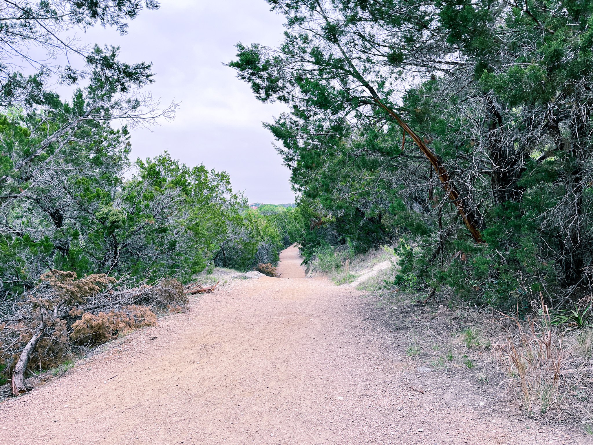
1. Twin Falls and Sculpture Falls Via Barton Creek Greenbelt
Park: Barton Creek Greenbelt
Trail Length: 3.2 miles
Route Type: Out and Back
Difficulty: Easy
Fee/Permit: No
Facilities: No
Pet-Friendly?: Yes
Trail Map: View Here
If the Barton Creek Greenbelt is a little crowded for you, consider exploring the Twin Falls and Sculpture Falls section as an alternative. It features swimming holes, rock climbing areas, and trails suitable for hikers of all levels. Water levels fluctuate based on rain conditions so keep that in mind before visiting!
Parking is right off the freeway exit to the right. As with any place, make sure to hide and lock up your belongings in your car (seriously…do it).
2. Dante’s Trail to Paraiso
Park: Purgatory Creek Natural Area
Trail Length: 7.3 miles
Route Type: Loop
Difficulty: Moderate
Fee/Permit: No
Facilities: Yes
Pet-Friendly?: Yes
Trail Map: View Here
Purgatory Creek Greenspace, nestled in San Marcos, Texas, offers a diverse landscape of rugged trails, serene creeks, and lush greenery, perfect for an adventurous hike. Its winding miles of paths are perfect for hikers seeking both tranquility and a touch of wilderness near Austin, TX. After your hike, explore the San Marcos area and maybe go float in the river post-hike in the summer!
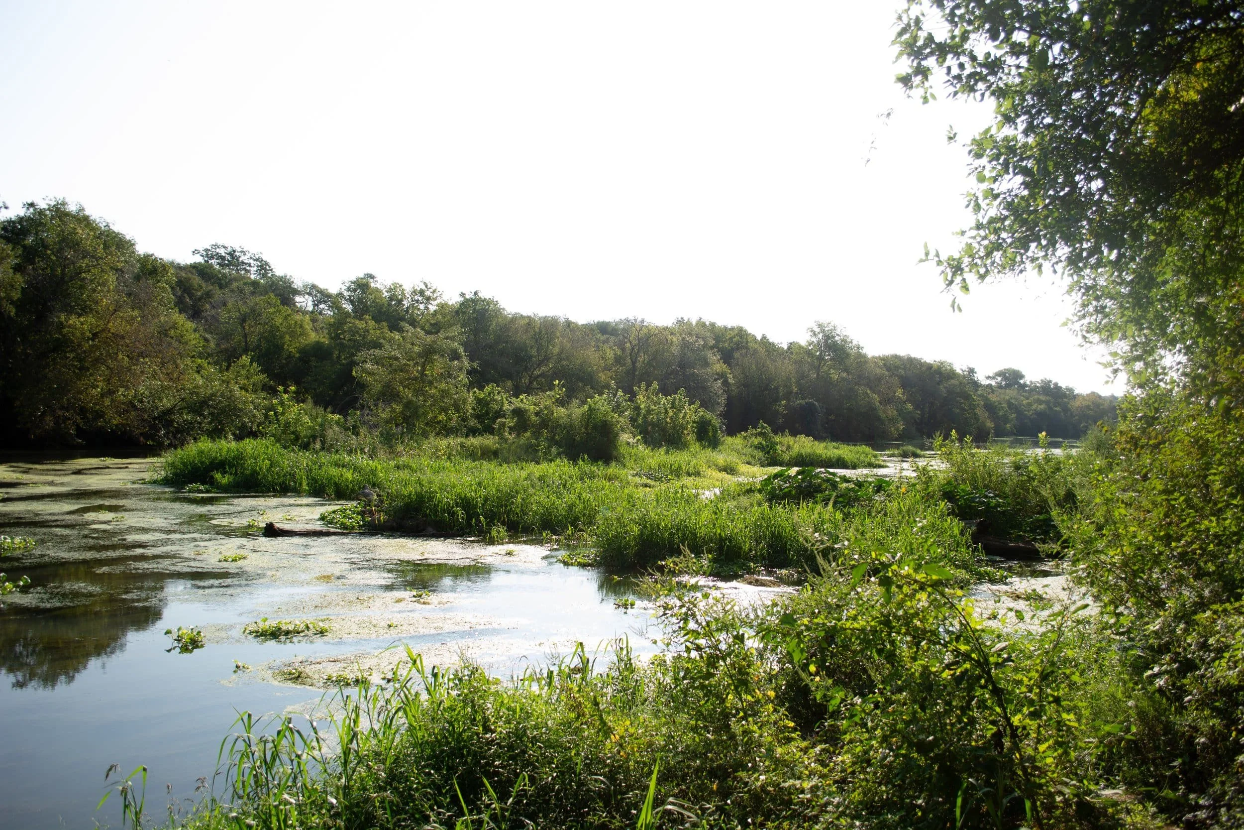
3. Onion Creek Trail
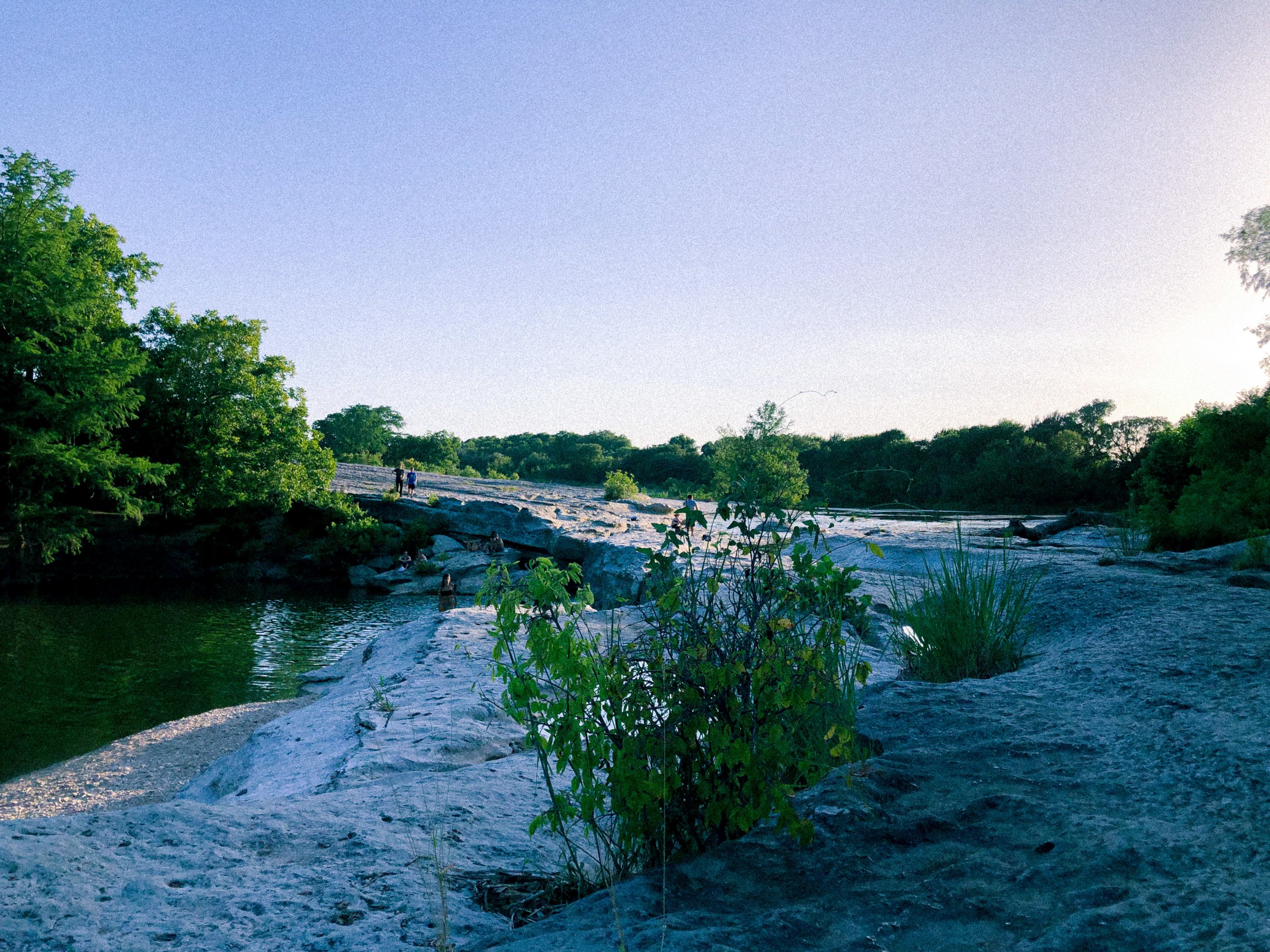
Park: McKinney Falls State Park
Trail Length: 3.7 miles
Route Type: Loop
Difficulty: Easy
Fee/Permit: Yes (Reserve on TPWD)
Facilities: Yes
Pet-Friendly?: Yes
Trail Map: View Here
One of my personal favorites! If you are looking for hiking in Austin with waterfalls, McKinney Falls State Park is home to unique geological formations and the beautiful Upper and Lower falls. The Homestead Trail and Onion Creek Trail are great for a relaxing hike through the entire park. Pack your swimsuit in the summer – you can take a refreshing dip in the falls!
4. Indiangrass, Rimrock, and Creek Loop

Park: Balcones Canyonlands - Doeskin Ranch
Trail Length: 3.6 miles
Route Type: Loop
Difficulty: Easy
Fee/Permit: No
Facilities: Yes
Pet-Friendly?: No
Trail Map: View Here
For a more tranquil nature experience, visit Balcones Canyonlands National Wildlife Refuge (BCNWR) - Doeskin Ranch section. Open to the public, this peaceful sanctuary is home to diverse flora and fauna. Choose from various trails that cater to different skill levels, and keep an eye out for birds and wildlife.
Guided Hike Alert!
If you are looking to explore other sections of BCNWR, the Friends of Balcones Canyonlands National Wildlife Refuge puts on guided hikes of various trails led by amazing volunteers who will teach you all about the area. RSVP here!
5. Hamilton Pool Park Trail
Park: Hamilton Pool Preserve
Trail Length: 1.9 miles
Route Type: Out and Back
Difficulty: Moderate
Fee/Permit: Yes
Facilities: Yes
Pet-Friendly?: No
Trail Map: View Here
This is one spot that you MUST visit. Hamilton Pool Preserve is a natural gem just outside of Austin. The highlight is the stunning emerald-green pool created by a collapsed grotto. While the hike is short, access to the pool is limited, so be sure to make a reservation in advance.
6. Emma Long Cliff Loop
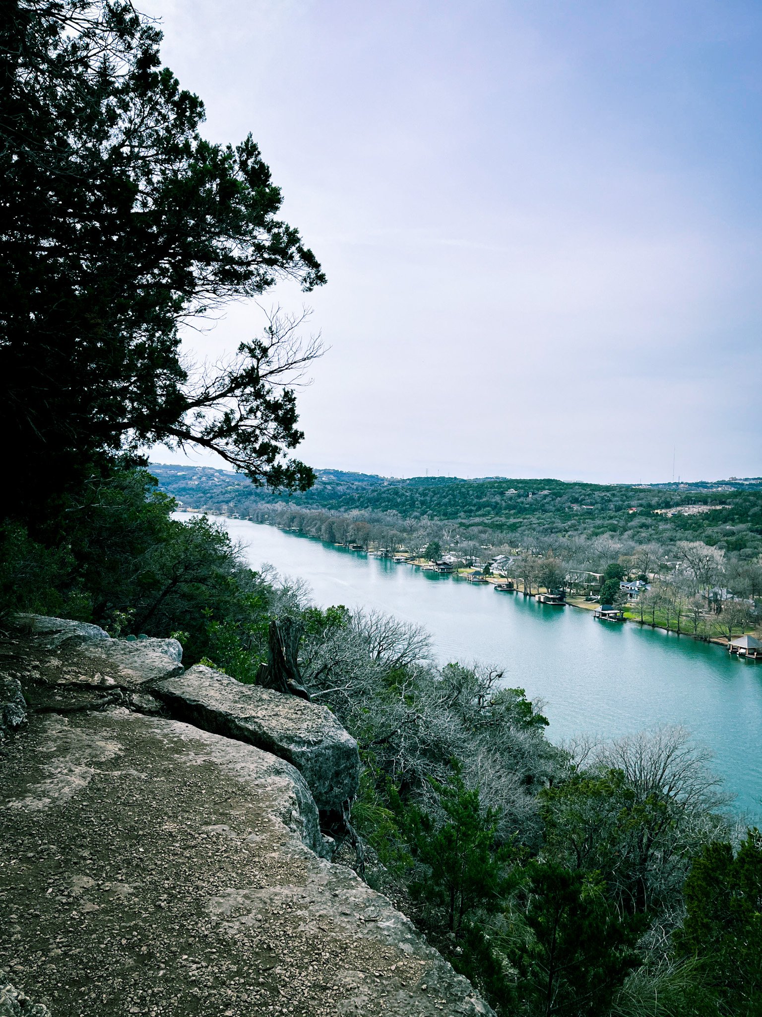
Park: Emma Long Metropolitan Park
Trail Length: 3 miles
Route Type: Loop
Difficulty: Moderate
Fee/Permit: No
Facilities: Yes
Pet-Friendly?: Yes
Trail Map: View Here
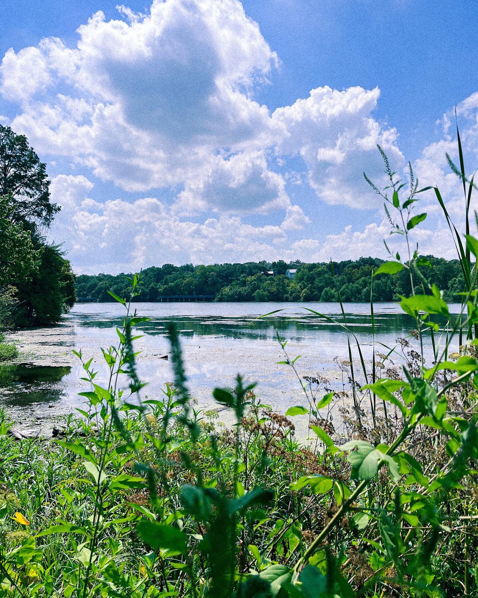
Emma Long Metropolitan Park in Austin, TX, offers scenic lakeside hiking trails along the shores of Lake Austin. You can immerse yourself in nature, enjoy waterfront views, and explore the diverse terrain in this beautiful park.
7. Piney Hill Spur and Lost Pines Trail Loop
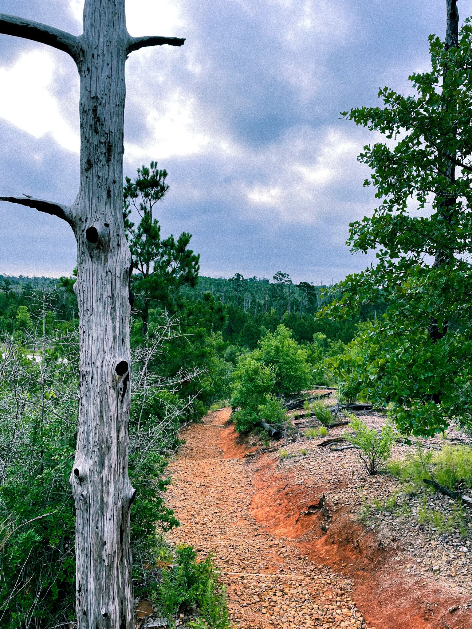
Park: Bastrop State Park
Trail Length: 5 miles
Route Type: Loop
Difficulty: Moderate
Fee/Permit: Yes (Reserve on TPWD)
Facilities: Yes
Pet-Friendly?: Yes
Trail Map: View Here
Bastrop State Park is a beautiful natural retreat in Texas known for its diverse hiking trails. Explore lush forests and enjoy the serene Piney Woods, while hiking through this beautiful park in the heart of the Lost Pines region. My favorite part of this trail is making it up to Fehr’s Overlook shelter to get a nice overlook!
8. Enchanted Rock Summit Trail

Park: Enchanted Rock State Natural Area
Trail Length: 1.3 miles
Route Type: Out and Back
Difficulty: Challenging
Fee/Permit: Yes (Reserve on TPWD)
Facilities: Yes
Pet-Friendly?: No (only on the loop trail and designated picnic/campground areas)
Trail Map: View Here
Enchanted Rock is a Texas icon known for its pink granite dome. The hike to the summit can be challenging, but the panoramic views are worth it. The park is also designated as a Dark Sky Park, making it an ideal spot for stargazing. Millions of people visit this park each year from all over the world. It is highly recommended to get your day pass online before arriving at the park.
9. Slaughter Creek Trail Loop
Trail Length: 5.3 miles
Route Type: Loop
Difficulty: Easy
Fee/Permit: No
Facilities: Yes
Pet-Friendly?: No
Trail Map: View Here
Located in South Austin, Slaughter Creek Loop offers hiking and biking trails. It’s the perfect distance for those looking to clock in some miles. Sadly, pets are not allowed on this trail.
10. Muleshoe Bend Trail
Park: Muleshoe Bend Recreation Area
Trail Length: ~6 miles
Route Type: Loop
Difficulty: Moderate
Fee/Permit: Yes
Facilities: Yes
Pet-Friendly?: Yes
Trail Map: View Here
If you are looking for some Lake Travis hiking, this park is situated along the shores of Lake Travis. Muleshoe Bend Recreation Area offers trails and opportunities for boating and fishing. Check the lake water levels beforehand in case you want to bring a watercraft.
11. Wolf Mountain Trail
Park: Pedernales Falls State Park
Trail Length: 5.4 miles
Route Type: Loop
Difficulty: Moderate
Fee/Permit: Yes (Reserve on TPWD)
Facilities: Yes
Pet-Friendly?: Yes
Trail Map: View Here
Pedernales Falls State Park is a true natural wonder with cascading waterfalls and stunning river views. A lot of visitors come to see the waterfalls, but the park has miles and miles of trails to explore. Wolf Mountain trail is special because you can enjoy the sunset over the rolling hills. Do keep in mind that you will need to make a creek crossing so wear the proper shoes or bring sandals to change into!
12. Reimers Ranch Upper River Trail

Park: Reimers Ranch Park
Trail Length: 2.5 miles
Route Type: Loop
Difficulty: Easy
Fee/Permit: $5 cash fee for the day
Facilities: Yes
Pet-Friendly?: Yes
Trail Map: View Here
Reimers Ranch Park is a hiker’s and rock climber's paradise with limestone cliffs, miles of trails, and bouldering areas. This riverfront trail will give you amazing views of the Perdernales River. And if you love mountain biking, this park has a Mountain Bike Trail Network.
13. Commons Ford Waterfall Trail

Park: Commons Ford Metropolitan Park
Trail Length: 1.9 miles
Route Type: Loop
Difficulty: Easy
Fee/Permit: No
Facilities: Yes
Pet-Friendly?: Yes
Trail Map: View Here
Nestled along Lake Austin, Commons Ford Metropolitan Park features a little over 2 miles of trails that you can explore with a wildflower field and bird blind. There is also a spot to enjoy the view of Lake Austin post-hike and take a dip, get in some fishing, or just decompress by the water!
14. River Place Canyon Trail

Park: River Place Nature Trail
Trail Length: 5.4 miles
Route Type: Out and Back
Difficulty: Hard
Fee/Permit: Depends (more info below)
Facilities: Yes
Pet-Friendly?: Yes
Trail Map: View Here
The River Place Canyon Trail is known for its challenging staircases up to the summit and beautiful views. It’s the ideal place to train for backpacking trips or mountain hikes because of its drastic change in elevation through the trail.
The fee to enter the trail is dependent on when and what time you go. If you go during the week, you don’t have to worry about paying. Over the weekends, volunteers will be there to collect fees during peak hours, so try to get there early!
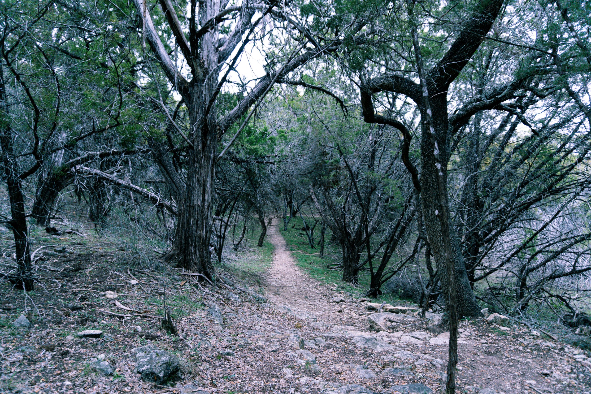
15. Greenway Primitive Blue, Red, Orange, and Yellow Loop

Park: Falconhead West Primitive Park
Trail Length: 2.9 miles
Route Type: Loop
Difficulty: Moderate
Fee/Permit: No
Facilities: No
Pet-Friendly?: Yes
Trail Map: View Here
For a serene and rugged hike, check out Falconhead West Primitive Park (also known as Bee Cave Primitive Park). Housed within Ash Juniper trees, this trail and its rocky terrain will give you an enjoyable hike through the Texas Hill Country. You can also add more miles by exploring a variety of trails within the park.
16. McKinney Roughs Loop Trail
Park: McKinney Roughs Nature Park
Trail Length: 4.4 miles
Route Type: Loop
Difficulty: Moderate
Fee/Permit: Yes
Facilities: Yes
Pet-Friendly?: Yes
Trail Map: View Here
McKinney Roughs Nature Park offers diverse ecosystems and abundant wildlife. With equestrian trails and guided tours available, it's an educational and outdoor adventure rolled into one. Check park hours and visitor center details before your visit!
17. Goodwater Loop Trail
Park: Cedar Breaks Park
Trail Length: 26.9 miles
Route Type: Loop
Difficulty: Moderate
Fee/Permit: Yes
Facilities: Yes
Pet-Friendly?: Yes
Trail Map: View Here
For an extensive hiking experience, take on the Goodwater Loop Trail around Lake Georgetown. This 26-mile loop offers backpacking and camping options. It's a fantastic way to immerse yourself in the outdoors and even practice your backpacking skills!
18. Inks Lake Devil’s Backbone Trail
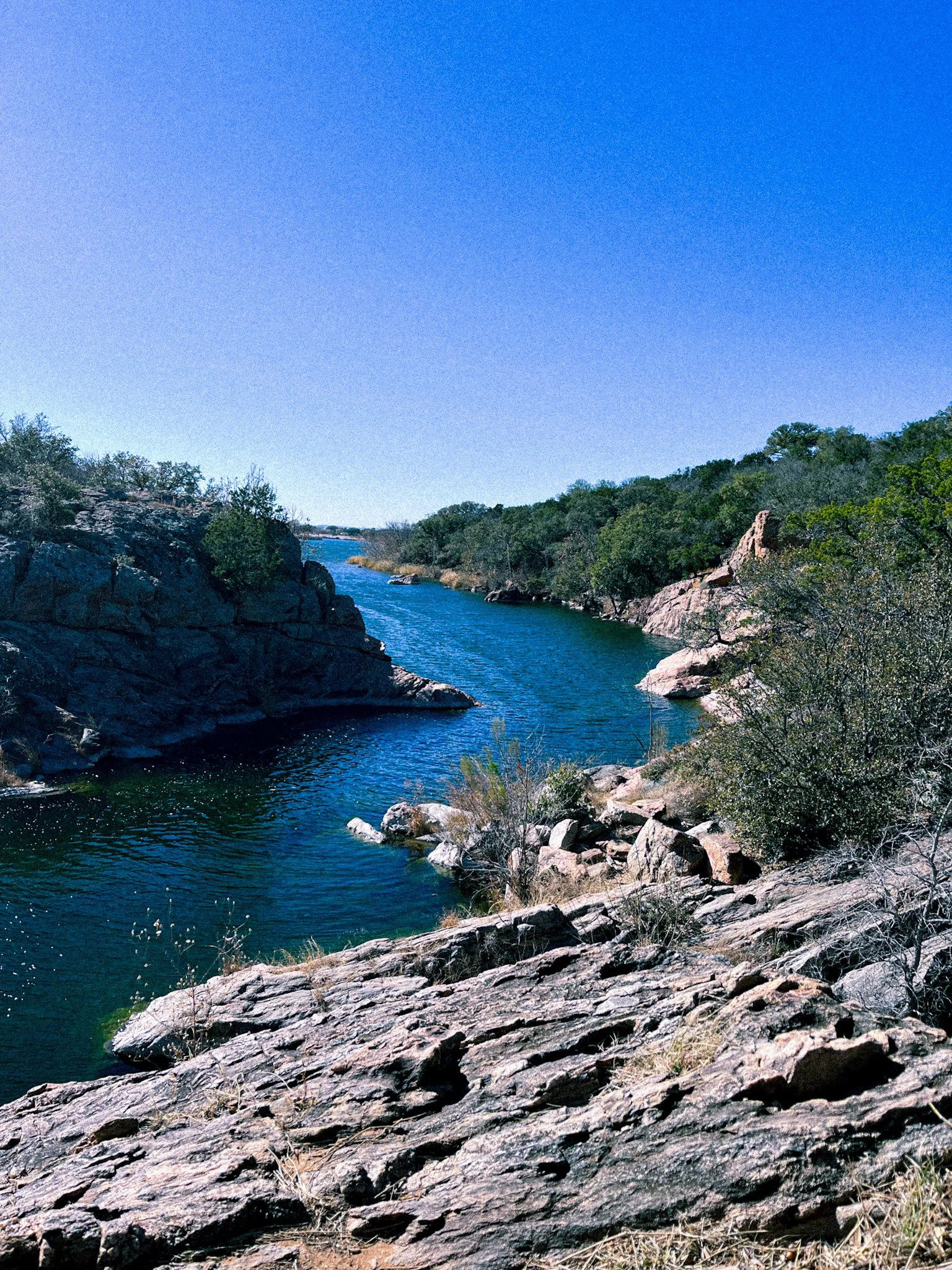
Park: Inks Lake State Park
Trail Length: 3.4 miles
Route Type: Out and Back
Difficulty: Moderate
Fee/Permit: Yes (Reserve on TPWD)
Facilities: Yes
Pet-Friendly?: Yes
Trail Map: View Here
Inks Lake State Park is a hiker's paradise in the Texas Hill Country, offering a variety of scenic trails that cater to different skill levels. Whether you're seeking challenging terrain with rewarding vistas or a laid-back lakeside stroll, this park has something for every hiker! And if you want to add more fun to the trip, you can rent kayaks at the park store to explore the park from the water or drive down the road to Longhorn Cavern State Park for a cave tour.
19. Hamilton Greenbelt Trail
Park: Hamilton Greenbelt
Trail Length: 2.7 miles
Route Type: Out and Back
Difficulty: Easy
Fee/Permit: No
Facilities: Yes
Pet-Friendly?: Yes
Trail Map: View Here
Tucked away within the neighborhoods of Lakeway, Texas, the Hamilton Greenbelt is the perfect place to surround yourself with nature. Hike miles of connected trails along a running creek, small waterfalls, and beautiful rock formations.
20. Ann and Roy Butler Hike and Bike Trail
Park: Lady Bird Lake
Trail Length: 10 miles
Route Type: Loop
Difficulty: Easy
Fee/Permit: No
Facilities: Yes
Pet-Friendly?: Yes
Trail Map: View Here
For a more urban hiking experience, head to the Lady Bird Lake Trail. This 10-mile loop around the lake offers stunning views of the Austin skyline. It's a popular spot for walkers, joggers, and bikers. You'll also find access points for paddleboarding and kayaking along the way.
21. Barton Creek Greenbelt Loop
Park: Barton Creek Greenbelt
Trail Length: 5.3 milesView Here
Route Type: Loop
Difficulty: Moderate
Fee/Permit: Sometimes there are parking fees at trailheads
Facilities: Yes
Pet-Friendly?: Yes
Trail Map: View Here
Located just minutes from downtown Austin, the Barton Creek Greenbelt is a local favorite. With over 12 miles of trails, it offers a range of hiking trails. The trail winds along Barton Creek, offering opportunities for swimming and rock climbing. Keep an eye out for beautiful wildflowers in the spring and limestone cliffs.
22. Brushy Creek Regional Trail

Park: Several Parks
Trail Length: 13.9 miles
Route Type: Out and Back
Difficulty: Easy
Fee/Permit: No
Facilities: Yes
Pet-Friendly?: Yes
Trail Map: View Here
Brushy Creek Regional Trail is a special area in the Cedar Park area that stretches 7 miles one way. You can start at multiple parks along the trail, such as Brushy Creek Sports Park, Brushy Creek Lake Park, Champion Park, and Twin Lakes Family YMCA. Enjoy a day out on the lake, take a walk or run along the trail, fish along the creek, and play with the kiddos at the playgrounds. There’s so much to do here!
23. Laurel, Yaupon, Possum and Arroyo Vista Loop

Park: Wild Basin Nature Preserve
Trail Length: 1.8 miles
Route Type: Loop
Difficulty: Easy to Moderate
Fee/Permit: Reservations are required on weekends and holidays for a small fee
Facilities: Yes
Pet-Friendly?: No
Trail Map: View Here
This trail loop at Wild Basin Nature Preserve packs a punch with varied elevation and beautiful Hill Country views. Hiking poles could come in handy on the steep, rocky sections. It’s important to note that parking is very limited. Try visiting on a weekday morning to secure a spot. If you plan to go on the weekend, make sure to reserve a spot in advance to avoid being turned away at the gate.
24. Spicewood Valley Trail

Park: N/A
Trail Length: 2.5 miles
Route Type: Out and Back
Difficulty: Easy
Fee/Permit: No
Facilities: No
Pet-Friendly?: Yes
Trail Map: View Here
Spicewood Valley Trail is a true hidden gem in northwest Austin! Along the trail, you’ll see a small waterfall, lake views, CCC structures, rock formations, and a lovely creek. For parking, you can park along the side of Scotland Well Drive. There is a parking lot, but it only fits two cars.
Austin Trails Map
Below is a custom map that pinpoints each location listed in this article. Save it, share it, and use it to explore the best hiking trails in Austin, TX!

The Best Austin Hiking TRails
Exploring the hiking trails in and around Austin, Texas, is such a fun experience for nature lovers and outdoor enthusiasts. From tranquil creekside walks to challenging summit hikes, Austin has it all. So, grab your hiking boots, pack your water bottle, and head out to discover the natural beauty that surrounds this vibrant city. Before you go, make sure to check trail conditions, park hours, and any other relevant information to ensure a safe and enjoyable adventure. Happy hiking!
📍 Save This Pin to Bookmark this Post
